
Hiking in Romanian Carpathians. Mehedinti Mountains. From Baile Herculane to The Big Domogled Peak
Part 1
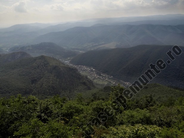
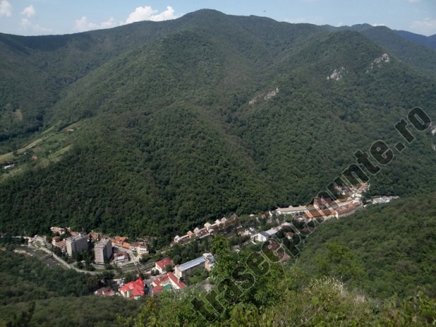
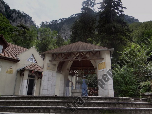
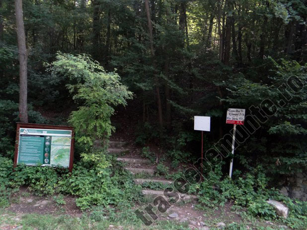
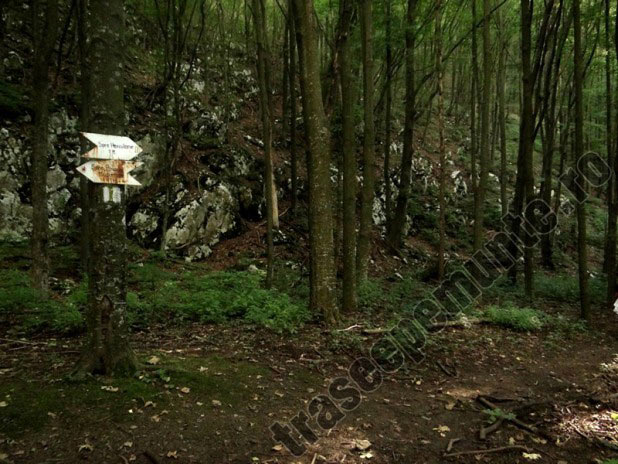
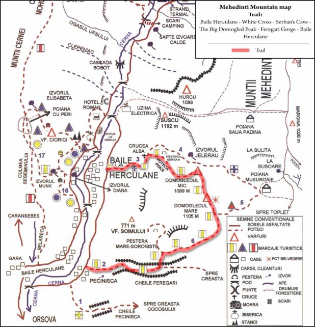
Baile Herculane – [Castanilor street – Piata 1 Mai street – Domogled spring water – Domogled street – road (to the left)] – intersection with 67D road (to the right) – after about 350 m, entrace to the hiking trail
Trail sign: no
Duration: 15 minutes
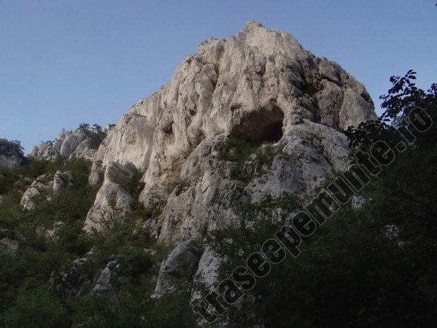
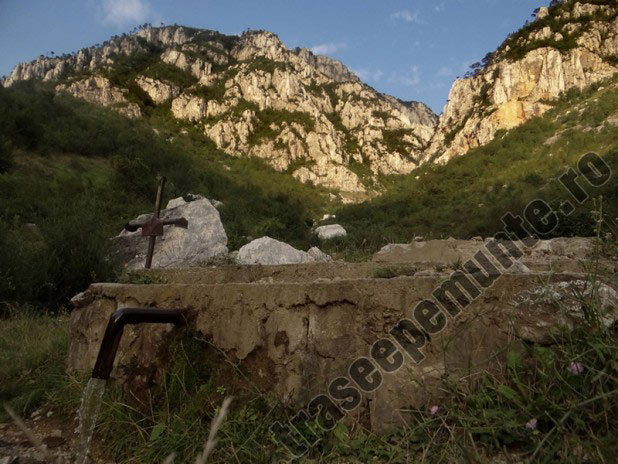
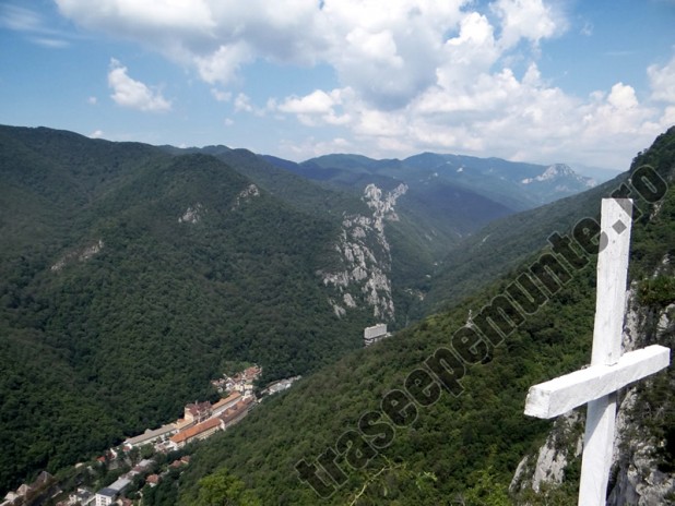
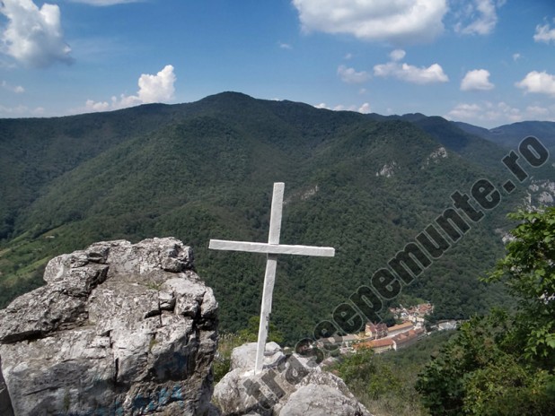
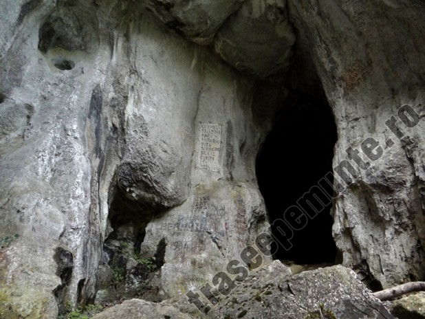
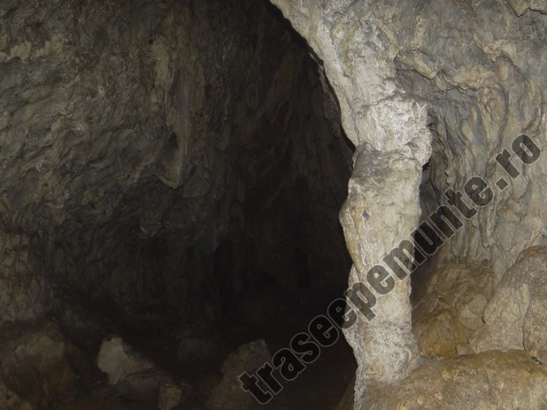
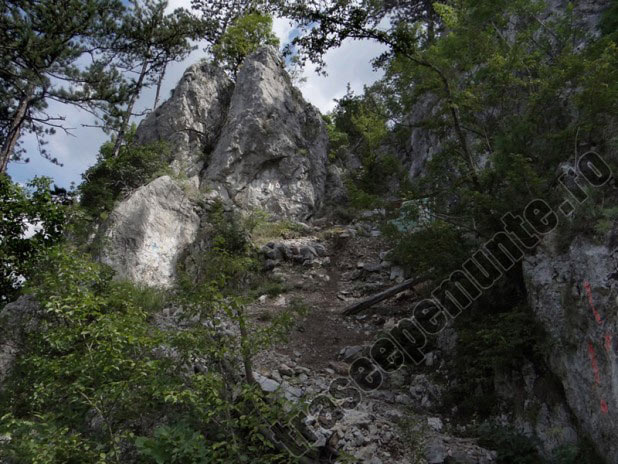
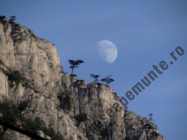
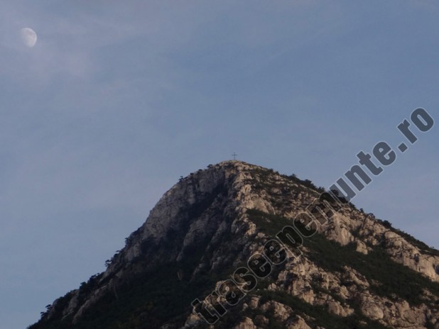
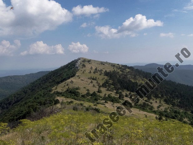
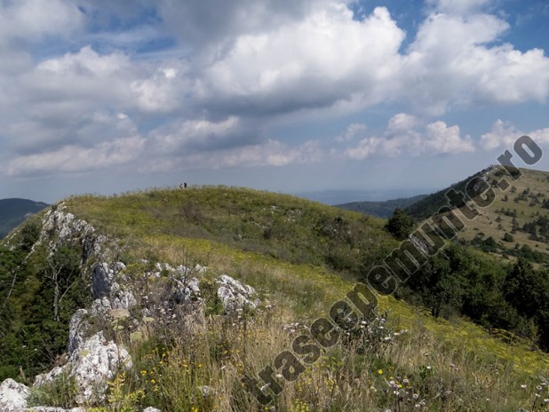
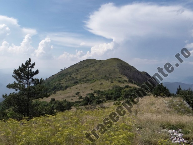
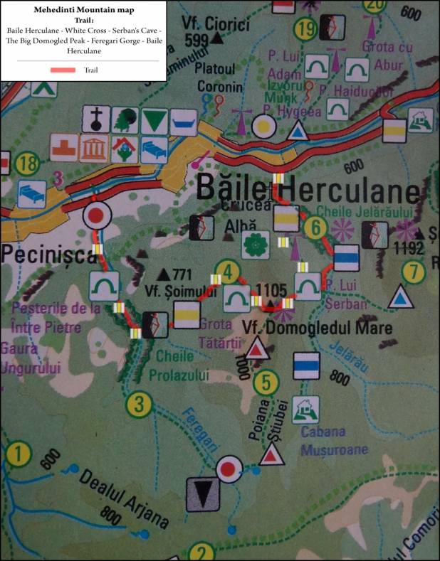
DN 67 road – White Cross – Serban’s Cave – Cat’s Path – The Small Domogled Peak – The Big Domogled Peak
Trail sign: vertical yellow line ![]()
Duration: 3½ – 4 hours
Part 2
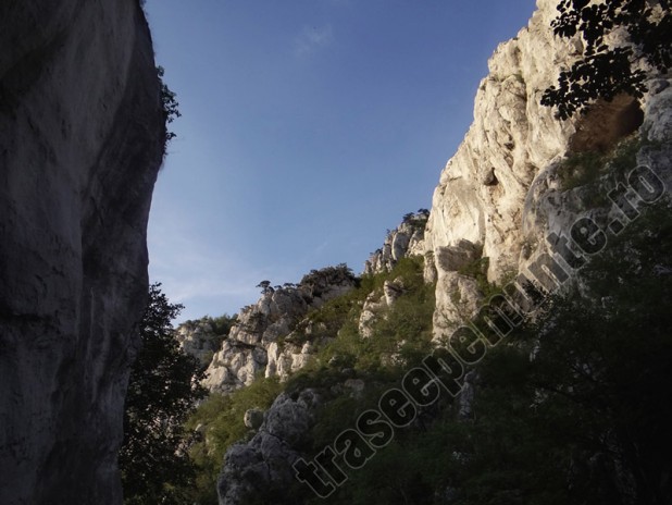
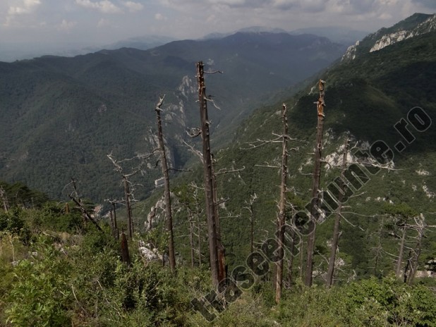
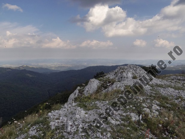
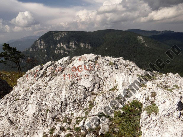
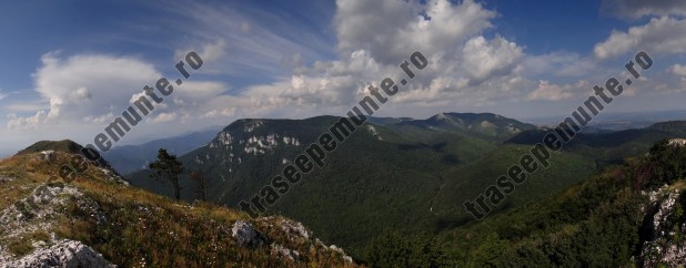
The Big Domogled Peak – Feregari Valley – Feregari / Prolazului Gorge – Pecinisca – road 67D
Trail sign: vertical yellow line ![]()
Duration: 2½ – 3 hours
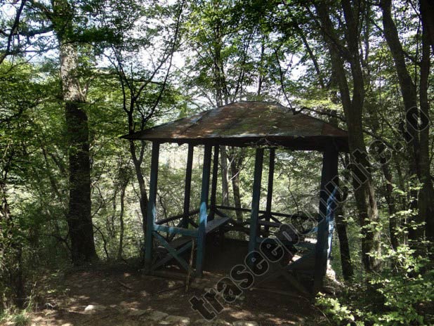
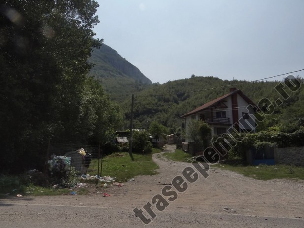
Road 67D – [Fabrica de Var street (near soccer stadium) – Trandafirilor street] – Baile Herculane
Trail sign: no
Duration: 30 minutes
Total duration: 7 – 8 hours
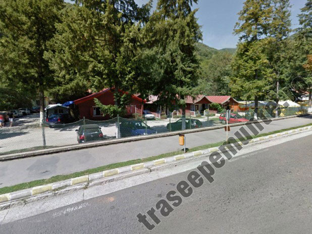
Accommodation in cabins or tent in Baile Herculane:
– Phone: 0040 751.803.794
– GPS: 44°52’52.90″N 22°24’46.99″E
! There are other campsites in Baile Herculane, but this is the most quiet. The two campsites near the „7 Izvoare” swimming pool are very crowded and noisy.
Related Posts
-
 Hiking in Romanian Carpathians. Piatra Mare Mountains. From Timisul de Jos to The 7 Stairs Canyon and Piatra Mare Peak
-
 Hiking in Romanian Carpathians. Fagaras Mountains. From Valea Rea to Triangular Lake and Moldoveanu Peak
-
 Hiking in Romanian Carpathians. Bucegi Mountains. From Busteni to Jepii Mici Valley, Caraiman Chalet and Eroilor Cross
-
 Hiking in Romanian Carpathians. Fagaras Mountains. From Sebesu de Sus to Suru Chalet